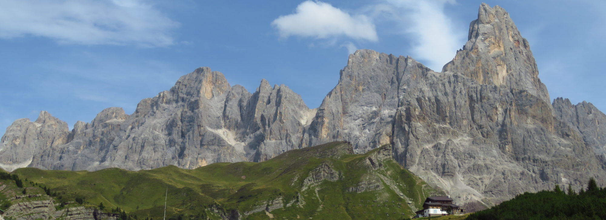
During our alpine crossing from St. Gingolph to Menton we recorded parts of our track with a Garmin etrex GPS receiver. Unfortunately we sometimes didn't have enough batteries with us. So we don't have tracks for the whole tour. Still, what we have is available as a set of .gpx files below. There are several ways to view .gpx files. Under linux you may use viking in combination with open street map. As far as I know google maps is also able to display .gpx files. We provide those files hoping that they are helpful to others. But of course using the data is on your own risk.

